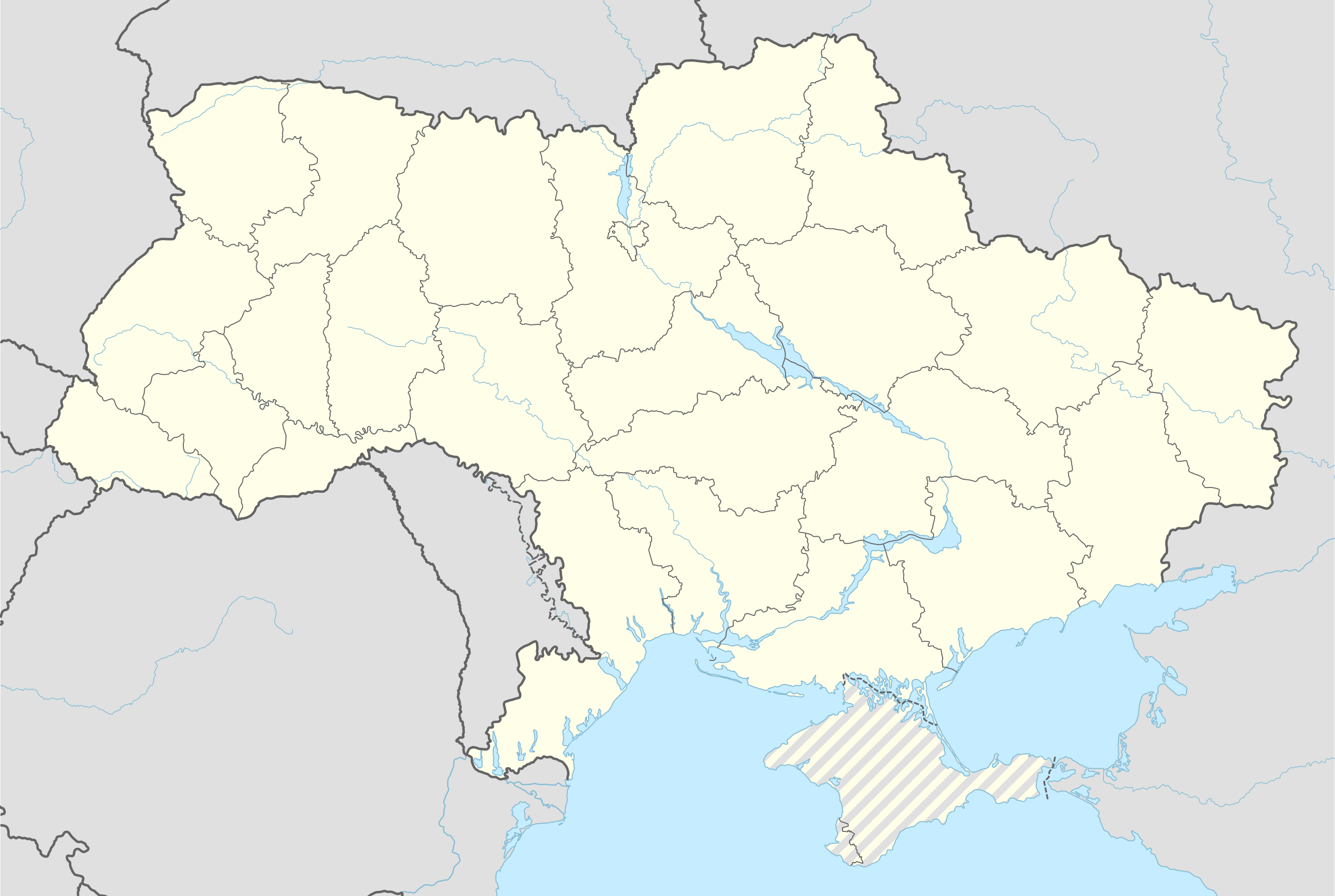
قالب:Russo-Ukrainian War detailed map
خطأ لوا في وحدة:Effective_protection_level على السطر 63: attempt to index field 'TitleBlacklist' (a nil value).

Bylbasivka
Myronivskyi
Novodonetske
Novyi Svit
Nyzhnia Krynka
Oleksijevo-Druzhkivka
Pelahiivka
Pivnichne
Rozsypne
Sieverne
Sofiivka
Staryi Krym
Volodymyrivka
Yasnohirka
Bile
Borivske
Heorhiivka
Ivanivka
Kripenskyi
Krymske, Novoaidar Raion
Rodakove
Teple
Yasenivskyi
Port of Mykolaiv
Dubovychi
Peremoha
Popilnia
Hold cursor over location to display name; click to go to sources and/or status description (if available, the cursor will show as  ; if not, it will show as
  ).
).
 Industrial complex;
  Border Post;
  Major port or naval base;
  Dam;
Dam;  Rural presence
Control: ![]() Ukraine;
Ukraine; ![]() Russia and allies (Belarus, Donetsk People's Republic & Luhansk People's Republic)
Russia and allies (Belarus, Donetsk People's Republic & Luhansk People's Republic)
![]() contested;
contested; ![]() stable mixed control;
stable mixed control; ![]() truce
truce
![]() Inner controls, outer sieges (or strong enemy pressure);
Inner controls, outer sieges (or strong enemy pressure);
![]() Enemy pressure from one side; Small icon within a larger icon: The situation in individual neighbourhood/district
Enemy pressure from one side; Small icon within a larger icon: The situation in individual neighbourhood/district
![]() Airport/Air base;
Airport/Air base; ![]() Heliport/Helicopter base;
Heliport/Helicopter base;
![]() Military base;
Military base; ![]() Strategic hill;
Strategic hill; ![]() Oil/gas;
Oil/gas;
| Uses Lua: |
| This template may have no transclusions, because it is used as part of a less-active Wikipedia process, or for some other reason. |
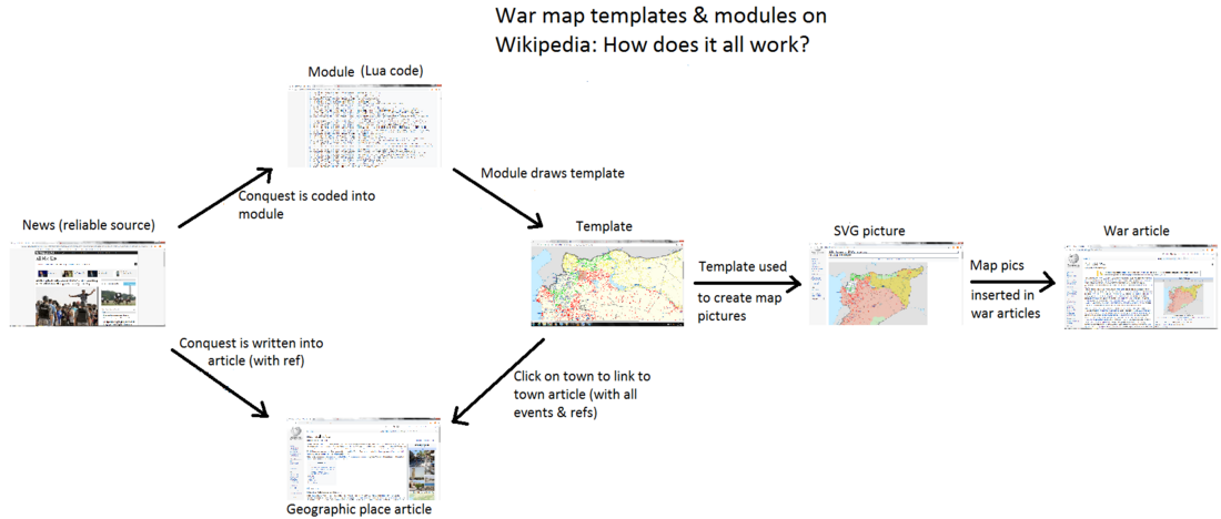
How war map template works with other parts of Wikipedia
| The above documentation is transcluded from قالب:Russo-Ukrainian War detailed map/doc. (edit | history) Editors can experiment in this template's sandbox (create | mirror) and testcases (create) pages. Please add categories to the /doc subpage. Subpages of this template. |
