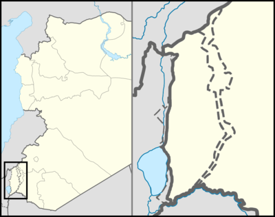
قالب:Location map Syria Golan
| name | مرتفعات الجولان | |||
|---|---|---|---|---|
| border coordinates | ||||
| 33.4520 | ||||
| 34.94177 | ←↕→ | 36.1015 | ||
| 32.6252 | ||||
| map center | 33°02′19″N 35°31′18″E / 33.0386°N 35.521635°E | |||
| image | Golan location map 2.PNG | |||

| ||||
| name | مرتفعات الجولان | |||
|---|---|---|---|---|
| border coordinates | ||||
| 33.4520 | ||||
| 34.94177 | ←↕→ | 36.1015 | ||
| 32.6252 | ||||
| map center | 33°02′19″N 35°31′18″E / 33.0386°N 35.521635°E / 33.0386; 35.521635 | |||
| image | Golan location map 2.PNG | |||

| ||||