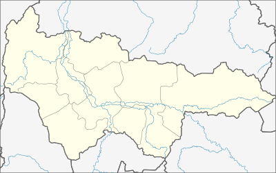
قالب:Location map Russia Khanty–Mansi Autonomous Okrug
| name | اُكروگ خانتي-مانسيسك المستقل ذاتياً | |||
|---|---|---|---|---|
| border coordinates | ||||
| 66 | ||||
| 59 | ←↕→ | 86 | ||
| 58 | ||||
| map center | 62°00′N 72°30′E / 62°N 72.5°E | |||
| image | Blank map of xmao-geoloc.svg | |||

| ||||
| image1 | Relief Map of Khanty-Mansi AO.jpg | |||

| ||||